Live Earth Map & Route Planner


Live Earth Map & Route Planner App Info
-
App Name
Live Earth Map & Route Planner
-
Package Name
com.gps.location.live.earth.map.diriving.direction.weather.voice.navigation
-
Developer
Gitola Tech Studios -
Category
Maps & Navigation -
Updated
2026/04/06
-
Version
4.0.0
Live Earth Map & Route Planner App
The Live Earth Map & Route Planner app is a powerful tool that provides real-time imagery and GPS navigation using live satellite view and street map. This interactive app allows users to explore various locations around the world, offering a comprehensive representation of the Earth captured through high-resolution cameras.
Features of Live Earth Map & Route Planner
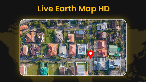
- Real-time Satellite View: Experience real-time imagery of the Earth through live satellite view, providing accurate and up-to-date information.
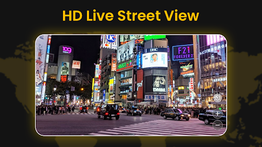
- Street View Map: Explore streets, cities, and landscapes with detailed views using the street view map feature.
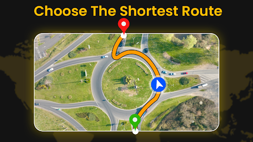
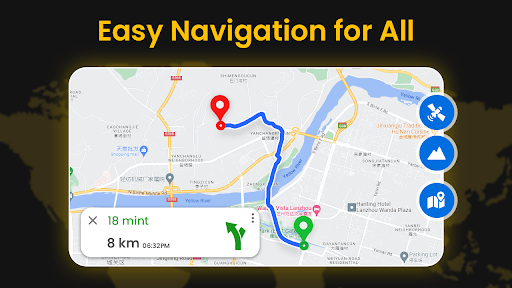
- GPS Navigation: Seamlessly navigate through different regions with GPS navigation and map direction, ensuring a smooth and hassle-free travel experience.
- Labels and Landmarks: The app includes labels for cities, countries, and other significant landmarks, making it easier to navigate and identify specific locations.
- Educational and Research Tool: Use the app for educational purposes, allowing students and researchers to study geography, geology, urban planning, and environmental changes.
- Travel Planning: Plan your routes and explore potential destinations before visiting a specific location, making your travel experience more efficient and enjoyable.
- Disaster Management: Utilize the live satellite street view feature to obtain real-time information about areas, making it valuable for disaster management and emergency response.
FAQ
Q1: What can I do with Live Earth Map & Route Planner app?
A1: You can explore the world using live satellite view and street map, navigate with GPS, plan routes, study geography, and use it for disaster management.
Q2: Is the satellite view in real-time?
A2: Yes, the app provides real-time imagery using live satellites, ensuring accuracy and up-to-date information.
Q3: Can I zoom in and view detailed street views?
A3: Yes, the app allows users to zoom in to see detailed views of streets, cities, and landscapes.
Editor's Note
The Live Earth Map & Route Planner app offers a unique and captivating experience, allowing users to explore the world from a live satellite view. With its advanced technology and comprehensive features, it serves as a valuable tool for various purposes, including navigation, education, travel planning, and disaster management. Whether you are a student, traveler, or researcher, this app provides a seamless and informative experience, making it a must-have for everyone.